Drones to Drills ™

Your top-tier mineral exploration service partner.

Geological Services

Geochemical Sampling & Services, Geological Mapping, Geophysical and Geospatial Surveys

Drilling

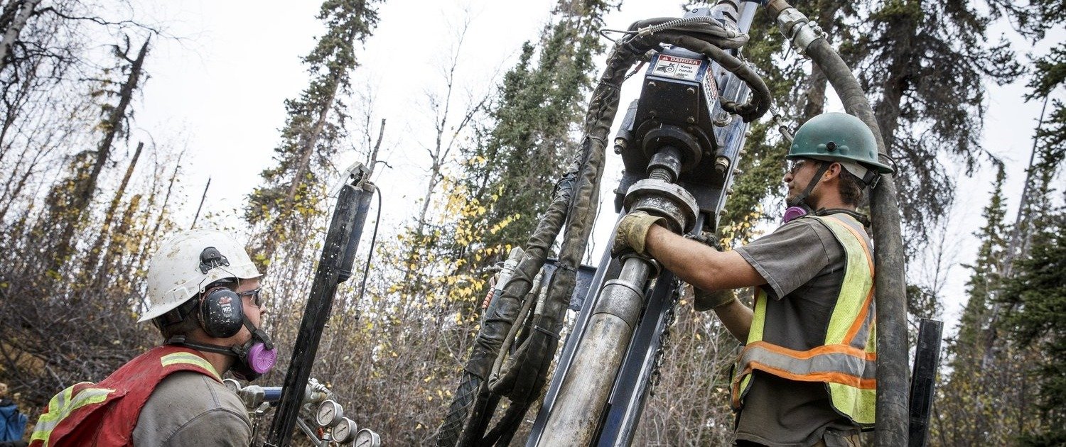
RAB & RC Drilling, OTV Structural Surveys, Staffing (GITs, Geotechnicians & Drillers)

Project Management

Budgeting, Proposals, Project Design, Claim Staking/Management, Permitting, Camp Support, Data Management, Assessment & Technical Reports (PGeo/GIT), Staff Management

Indigenous Relations

Stakeholder Engagement, Community Building, Indigenous Staffing, Permitting, Translating Services (French, Inuktitut, Spanish)

Additional Services

Site Reclamation, High-Resolution Promotional Imagery/Video, Remote Logistics & Camps

Who We Are

We are a top-tier mineral exploration service provider.

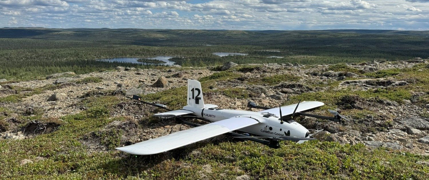
We blend traditional methods with cutting-edge drone and drill tech. to achieve exceptional results.

Our systematic approach ensures high-quality, efficient, cost-effective exploration with minimal impact.

GroundTruth is a recognized company in the mining industry for conducting and completing the largest soil sampling program on the planet in 2012.

15+

Years of experience

1,000,000+

Soil Samples Collected

3,200+ km

Geophysical Lines Surveyed

13,000+ km²

Geological Mapping & Prospecting

300,000+ ft

Total Drilled

What We Do

We locate and define geochemical anomalies.

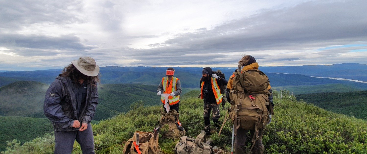
We locate these anomalies using geochemical sampling, whole-grain element analysis, and geophysics, which are refined into drill targets with detailed geological mapping.

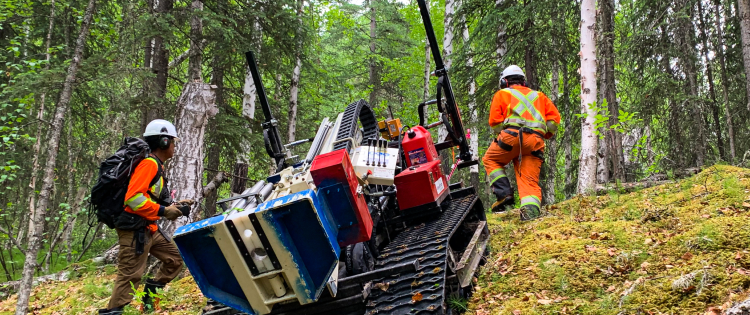
We define these targets with RAB/RC drilling, supported by real-time OTV (structural), pXRF(geochemical), and chip logging (geological) analyses. Drill cuttings are sent in for lab-grade analysis using whole-rock geochemistry.

Our turn-key exploration strategy is deliberate, data-driven, and delivers precise results.

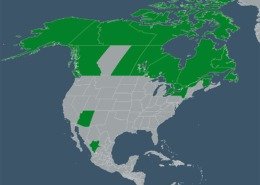
GroundTruth Project Areas
Trusted by Industry Leaders in Mining across North America

What We Offer

Whether you require end-to-end exploration servicing or a combination of individual services, we have the expertise and tools to support your project from start to finish.

Browse through our service options to build an exploration package tailored to your needs:

trace

Indigenous Relations

Best practice community consultation to establish stakeholder relations and obtain necessary permits to conduct exploration.

Stakeholder Engagement, Community Building, Indigenous Staffing, Permitting, Translating Services (French, Inuktitut, Spanish, German)

Geochemical Sampling & Services

Outline mineralized signatures and surface expression across areas of cover.

Soil Sampling, Lake Sediment Sampling, GeoProbe Sampling, Trenching, Till Sampling, Rock Sampling, pXRF Geochemistry, LIBS Geochemistry

Geological Mapping

Understand the mineralization parameters with robust bedrock, alteration and structural mapping.

Bedrock Mapping, Structural Mapping, Alteration Mapping, Outcrop Mapping

Geophysical and Geospatial Surveys

Better define the below surface structural signatures with DC resistivity, IP, ground & drone mag and VLF.

Ground Mag-VLF, GPR, DC RES-IP, Magnetometry, Photogrammetry, Geophysical Data Processing & Advanced Modelling

Drilling

RAB and RC drilling to intersect mineralization at depth, paired with XRF and optical televiewer.

RAB & RC Drilling, OTV Structural Surveys, Staffing (GITs, Geotechnicians & Drillers)

Project Management

Technical and assessment reporting, staking and expenditure claim management to track and maximize properties.

Budgeting, Proposals, Project Design, Claim Staking/Management, Permitting, Camp Support, Data Management, Assessment & Technical Reports (PGeo/GIT), Staff Management

Additional Services

Site reclamation, remote camps and logistics, and high-resolution imagery for promotional purposes.