Geological Mapping
Geological Mapping
Mapping bridges broad surface sampling with focused methods like geophysics and drilling.
We integrate GIS data, field observations, and geochemical results to create detailed maps and optimize drill target selection.
Overview of Services
-
Bedrock Mapping: We combine GIS analysis with detailed field mapping to provide a comprehensive understanding of bedrock geology, identifying rock types, structures, and mineralization to guide exploration activities. More details …
-
Structural Mapping: Our geologists focus on mapping faults, folds, and other structural features, emphasizing their role in controlling fluid flow and mineral deposition to optimize exploration targets. More details …
-
Alteration Mapping: Using advanced field techniques and geochemical analyses, we map hydrothermal alteration zones to identify mineralogical changes. More details …
-
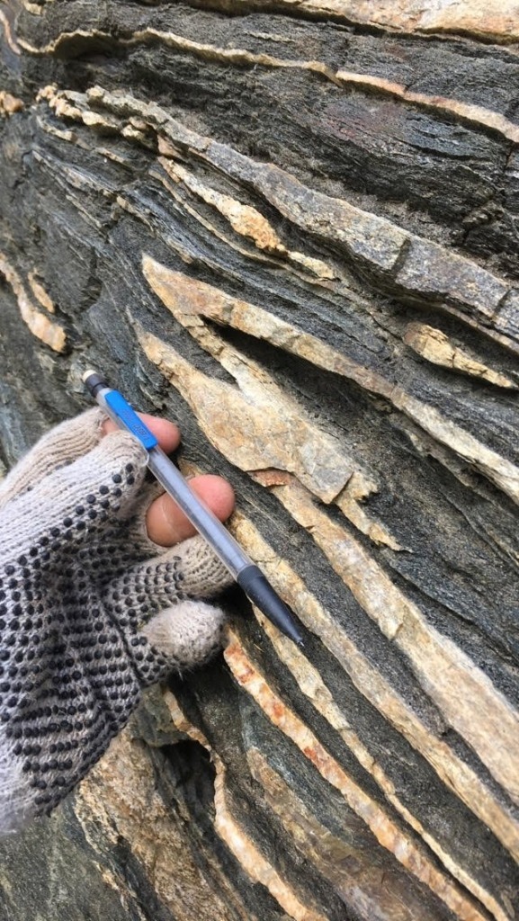
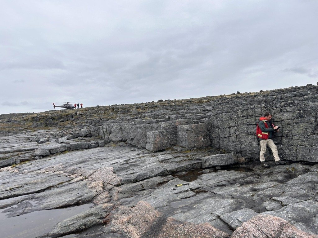
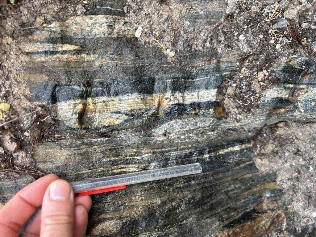
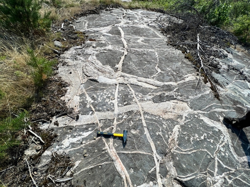
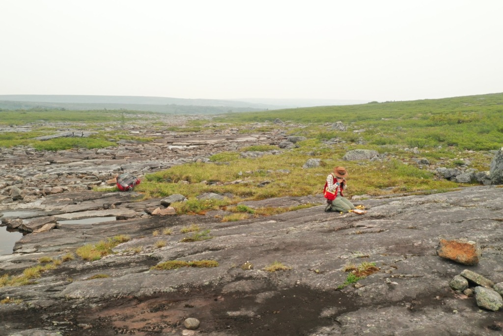
Outcrop Mapping: Our geologists conduct thorough field inspections to document surface exposures of rock, structural features, and mineralization, validating geochemical and geophysical anomalies. More details …
Bedrock Mapping
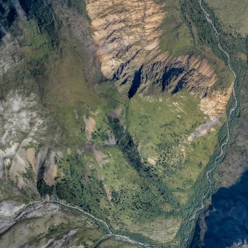
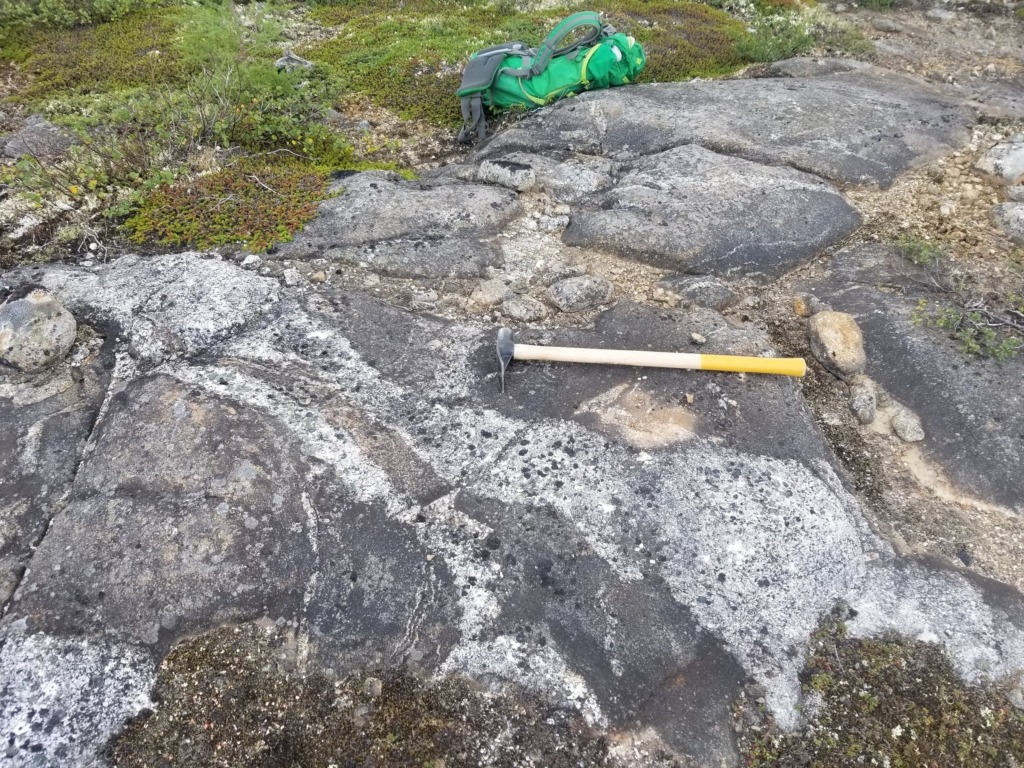
Our geologists integrate GIS data with on-the-ground field mapping to produce detailed bedrock geology maps, identifying key features such as lithological units and mineralization zones.
-
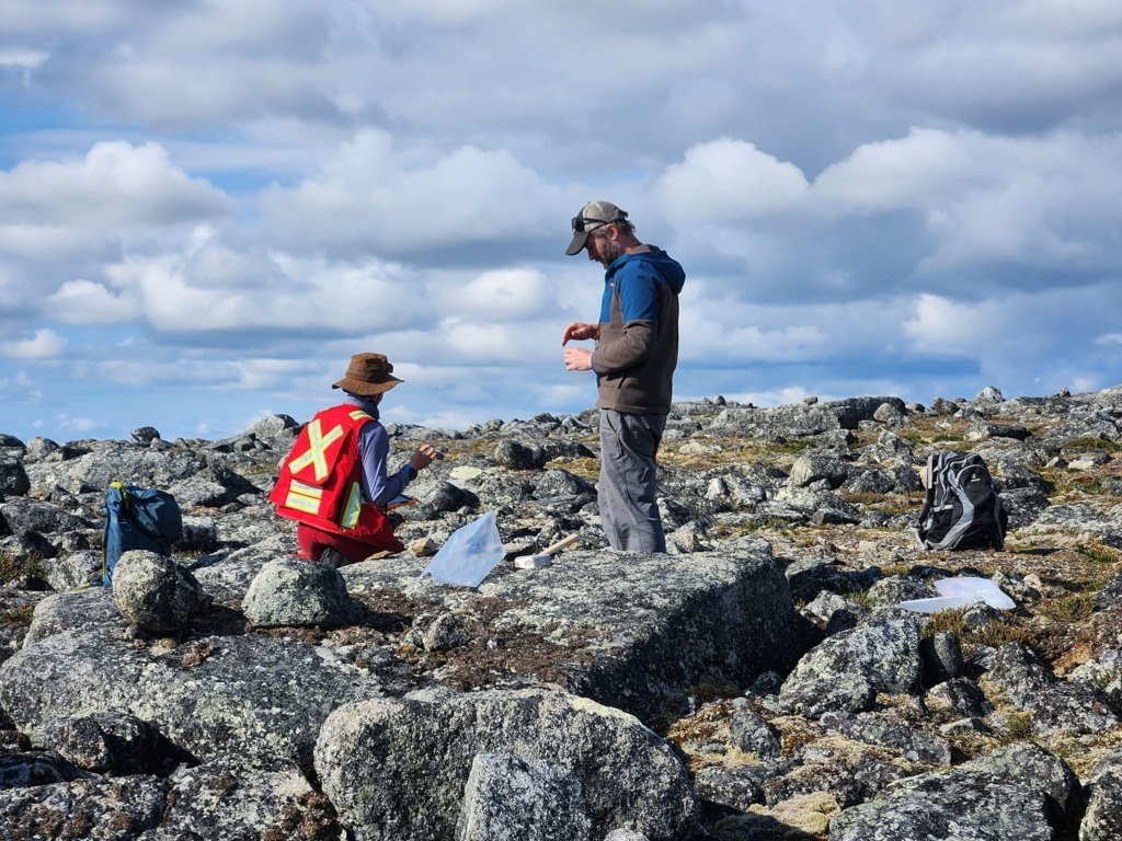
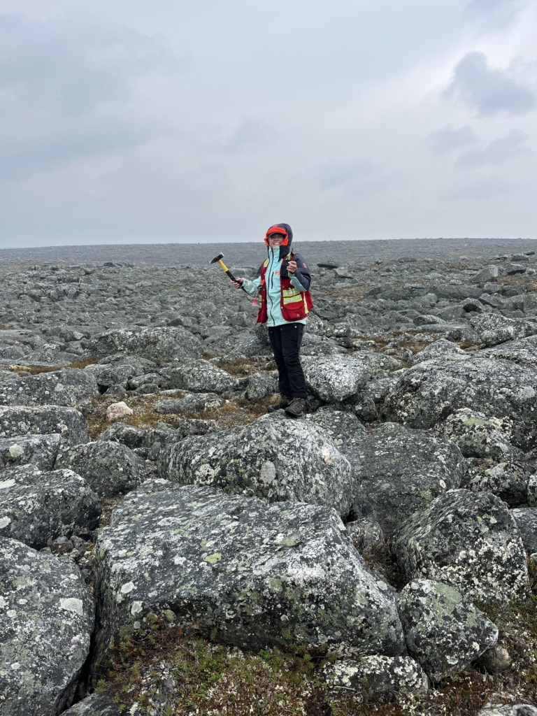
Field Mapping: Geologists map rock types, contacts, and surface structures directly in the field, correlating observations with geochemical and geophysical data.
-
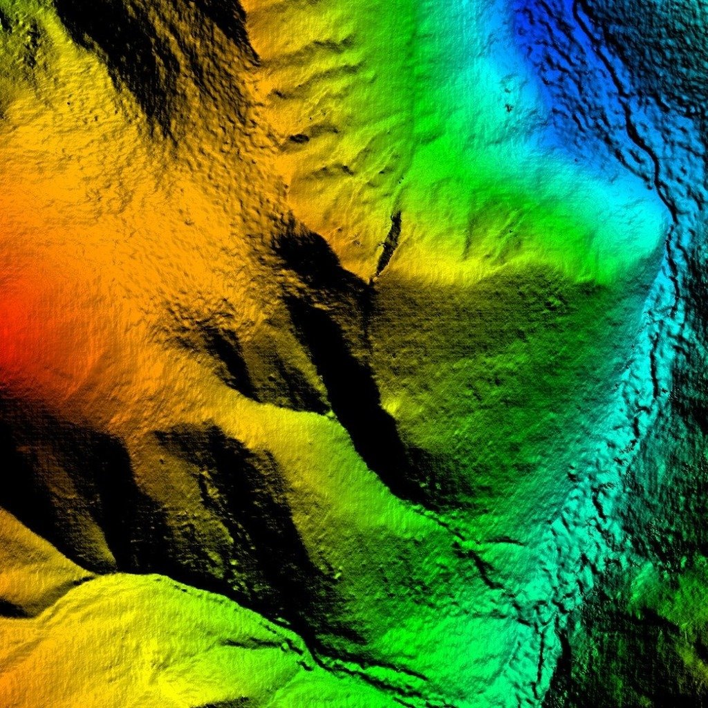
GIS Integration: Geochemical sampling, remote sensing, and geophysics data are synthesized to visualize bedrock geology.
Structural Mapping
Structural mapping identifies geological features like faults, folds, and fractures that influence fluid flow and ore deposition.
-
Fault and Fold Documentation: Detailed mapping highlights deformation zones and structural orientations critical for mineralization.
-
Exploration Planning: Structural data is combined with geochemical and geophysical results to refine exploration strategies and drill targets.
Alteration Mapping
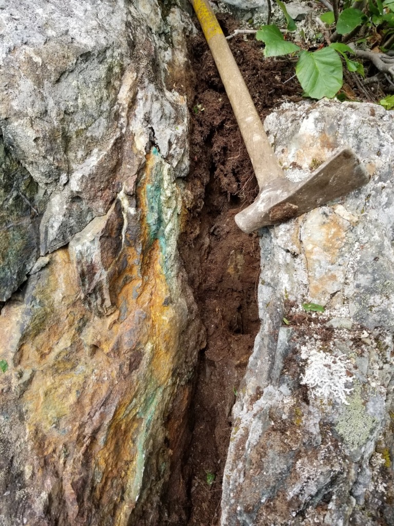
Mapping hydrothermal alteration zones highlights mineralogical and geochemical changes associated with potential ore deposits.
-
Field Techniques: We delineate alteration halos through field observations, geochemical testing, and mineral identification.
-
Exploration Indicators: Alteration zones provide key indicators of mineral systems, such as silicification, sericitization, or chloritization.
Outcrop Mapping
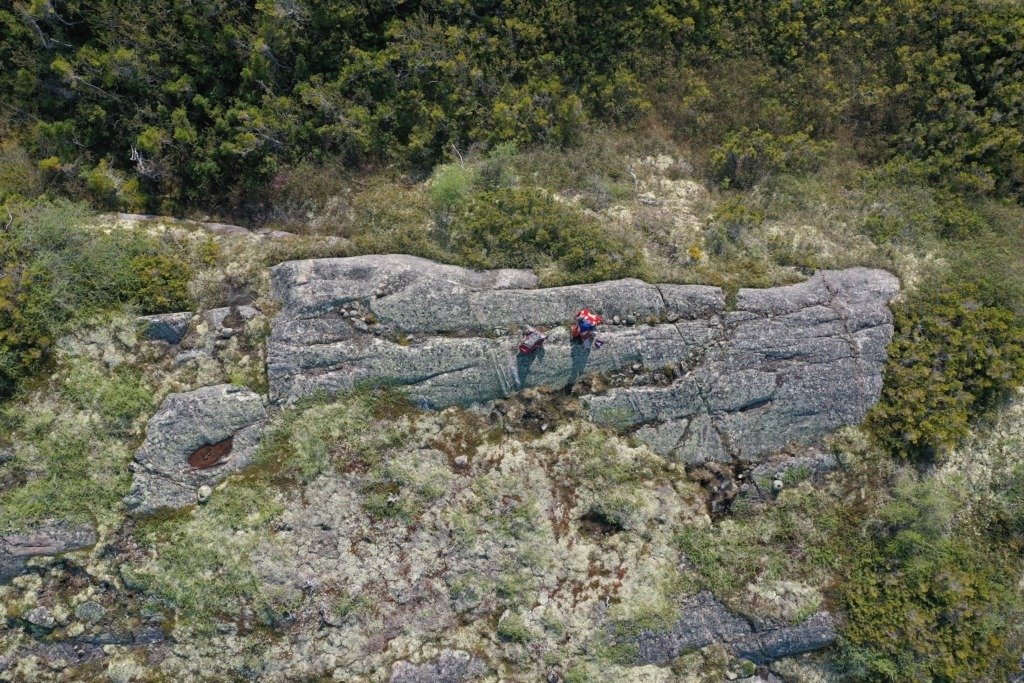
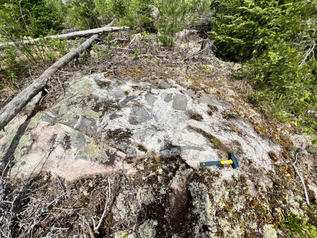
Outcrop mapping validates anomalies by documenting rock types, mineralization, and structural features visible at the surface.
-
Field Investigations: Geologists visit geochemically and geophysically anomalous zones to collect data and refine exploration models.
-
Geological Context: Observations from outcrop mapping provide essential information for interpreting geochemical and geophysical anomalies.
