Geophysical & Geospatial Surveys
Geophysical & Geospatial Surveys
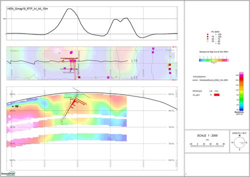
Our geophysical and geospatial services deliver precise subsurface mapping using techniques like Ground Mag-VLF and GPR, enhanced by advanced data processing and 3D modeling.
These methods refine exploration targets, optimize drill locations, and ensure efficient exploration with minimal environmental disturbance.
Overview of Services
-
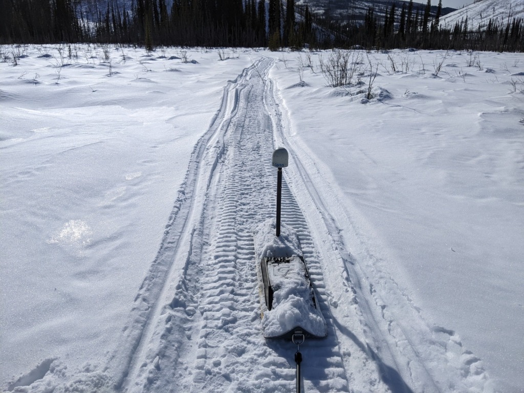
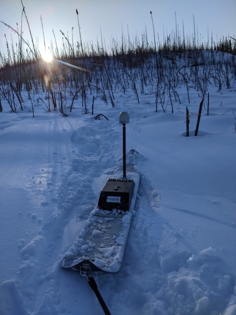
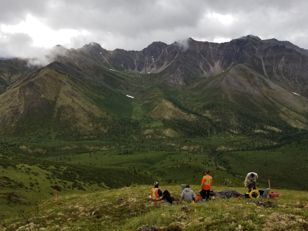
Ground Mag-VLF: Combined Ground Magnetics (MAG) and Very Low Frequency Electromagnetic (VLF-EM) surveys detect geological structures and conductive bodies, providing critical insights into subsurface formations. More Details …
-
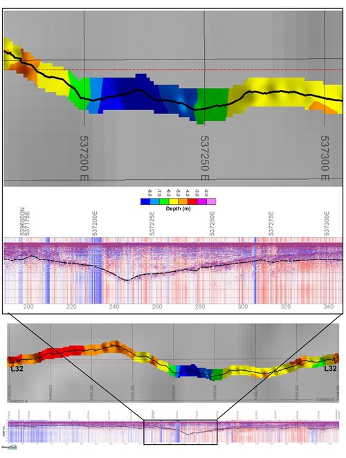
GPR: Ground Penetrating Radar (GPR) offers precise imaging of shallow subsurface layers, helping to determine the depth to bedrock and other structural features. More Details …
-
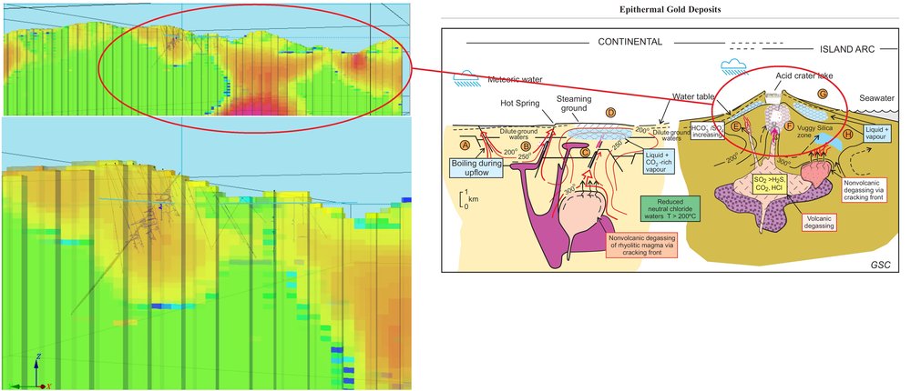
DC RES-IP: Direct Current Resistivity and Induced Polarization (DC RES-IP) surveys offer high-resolution details of geological units, fault structures, and mineralized zones. More Details …
-
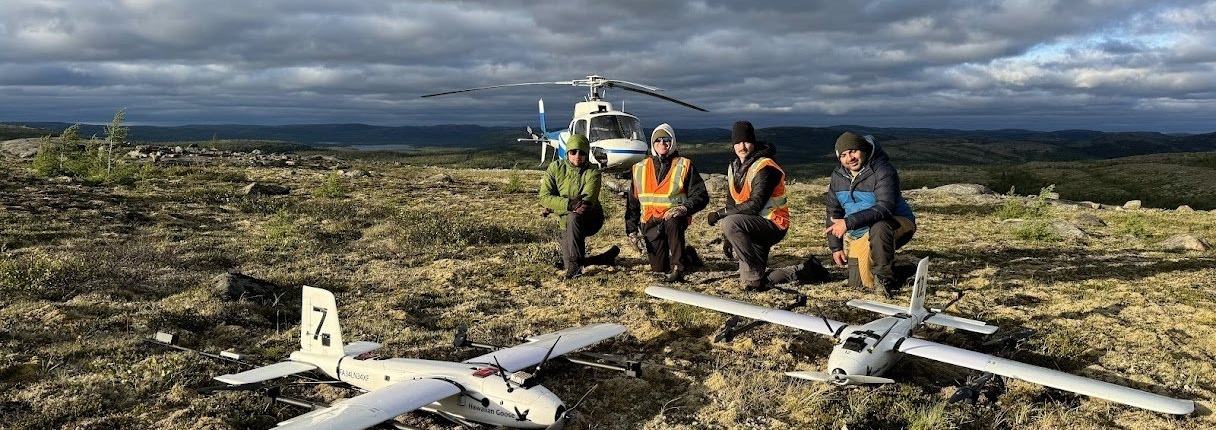
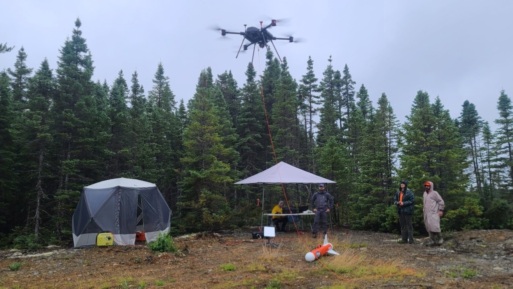
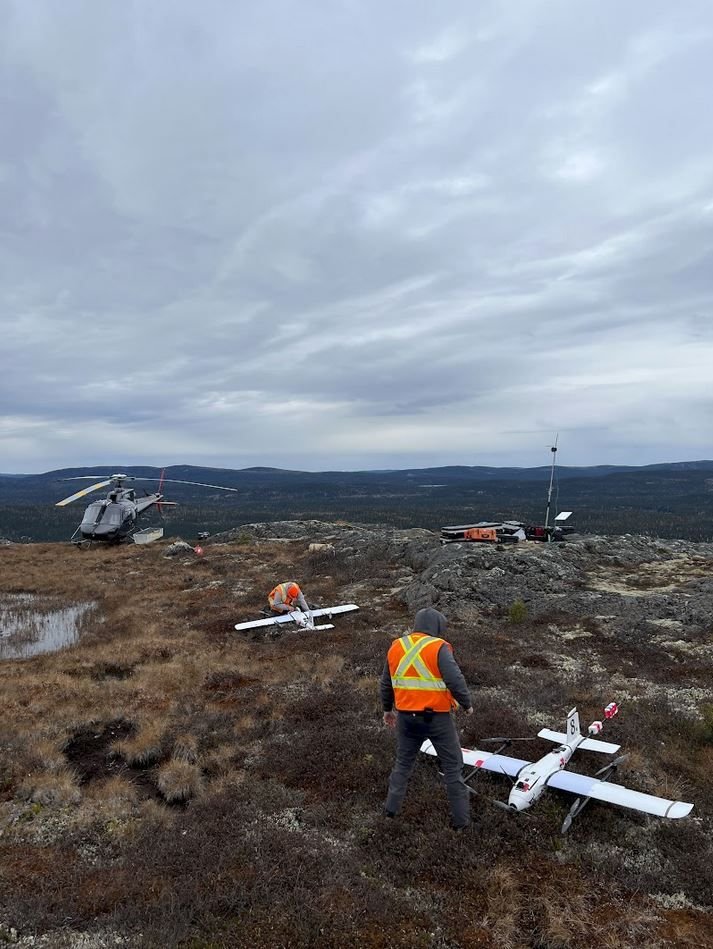
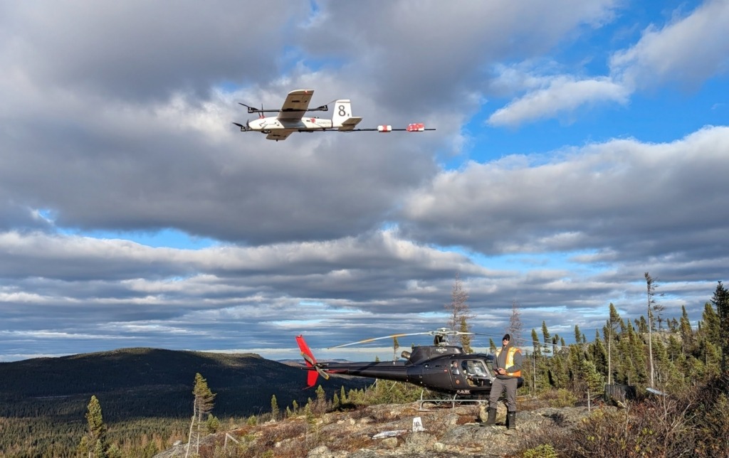
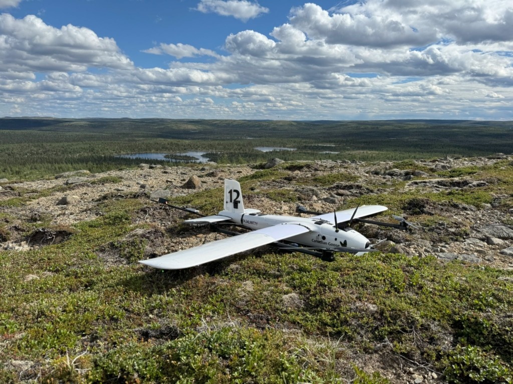
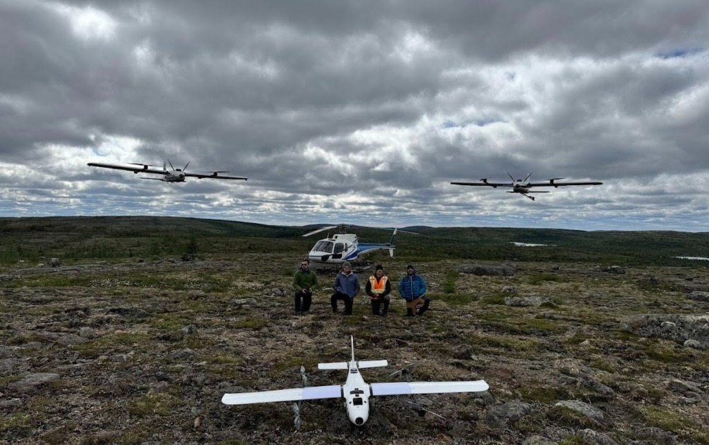
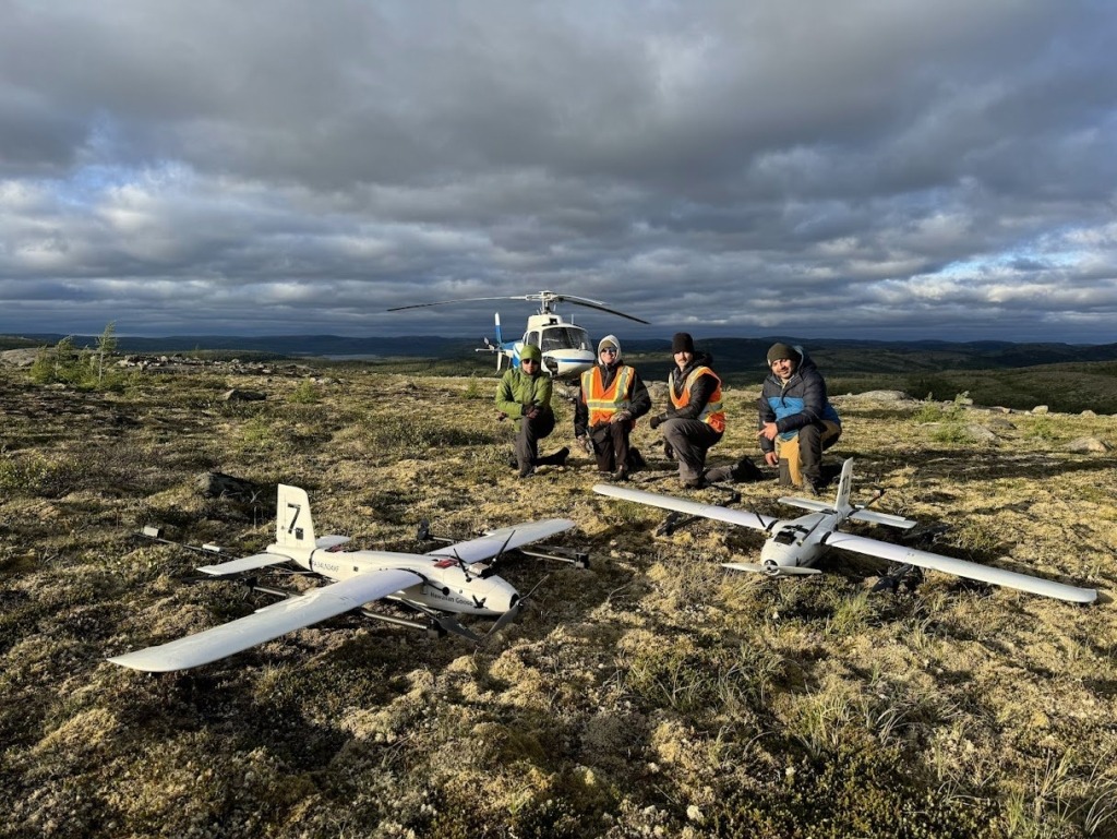
Magnetometry: Magnetometry surveys use aerial data to map magnetic variations in the subsurface, effectively identifying mineralization and geological features. More Details …
-
Photogrammetry: High-resolution photogrammetry captures current, detailed imagery of exploration areas, delivering Orthometric RGB and Multispectral maps to enhance project planning and analysis. More Details …
-
Geophysical Data Processing: Advanced processing techniques improve data accuracy, enabling seamless integration of geophysical results with exploration models. More Details …
-
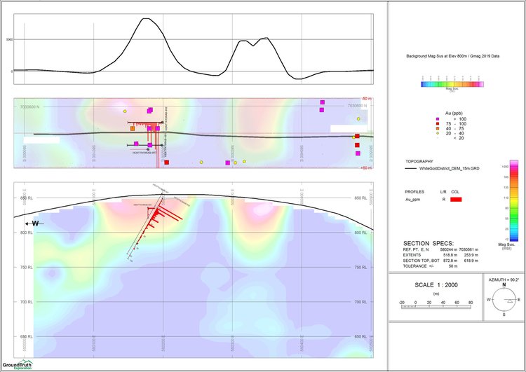
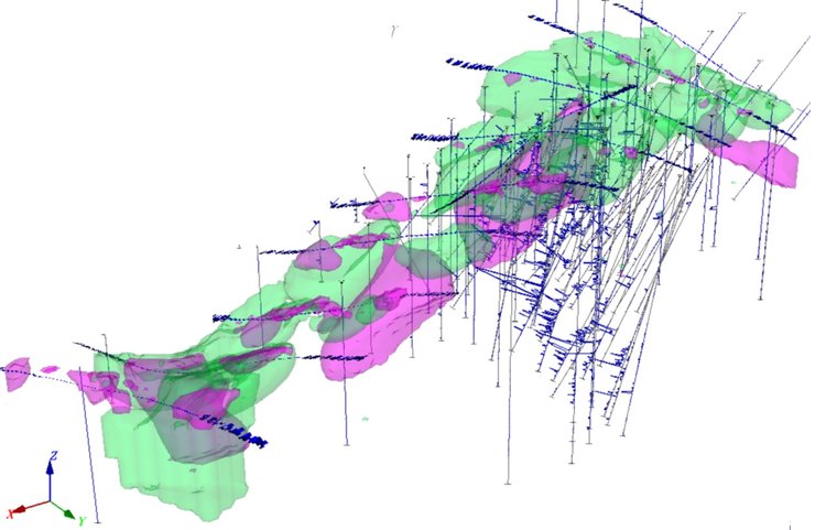
Advanced Modelling: 3D geophysical modeling provides a deeper understanding of subsurface structures, enhancing drill target selection and overall exploration outcomes. More Details …
Ground Mag-VLF-EM
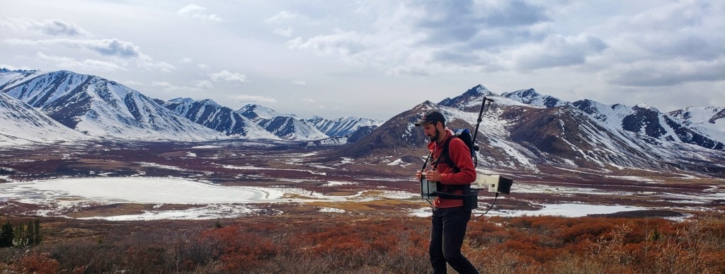
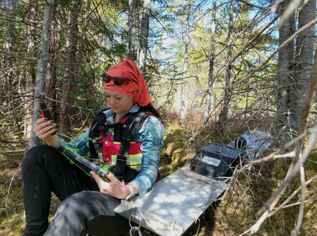
Ground Magnetics (MAG) and Very Low Frequency Electromagnetics (VLF-EM) are essential tools in identifying subsurface structures and mineralized zones. Ground MAG detects magnetic variations, often associated with minerals like magnetite, while VLF-EM highlights conductive bodies such as sulfide deposits.
-
Ground MAG: Measures variations in the Earth’s magnetic field to reveal magnetic minerals, geological structures, and lithology changes beneath the surface.
-
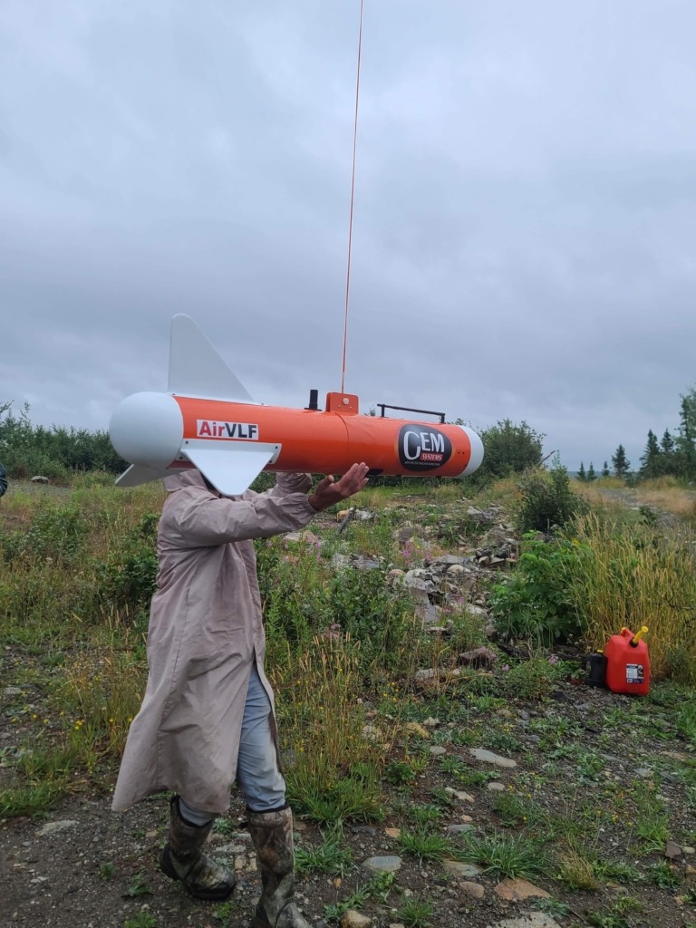
VLF-EM: Detects conductive zones, ideal for finding fault structures and shallow mineralized zones with electromagnetic fields.
-
Application: These surveys help geologists map structural and mineralized areas and refine targets for drilling.
GPR
Our Ground Penetrating Radar (GPR) surveys deliver high-resolution imaging of shallow subsurface layers, making it ideal for assessing depth to bedrock in till terrain and other complex environments.
-
High-Resolution Subsurface Imaging: GPR accurately maps subsurface features up to several meters deep, offering clarity on shallow bedrock interfaces and soil horizons.
-
Till Terrain Focus: Well-suited for understanding depth to bedrock in glacial till environments where traditional drilling may not be feasible.
-
Minimal Impact: GPR offers a non-invasive exploration solution, minimizing surface disturbance.
DC RES-IP
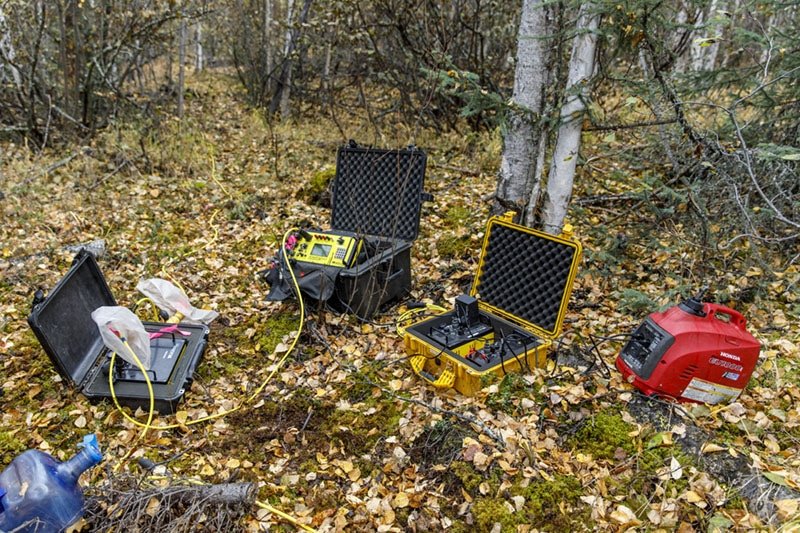
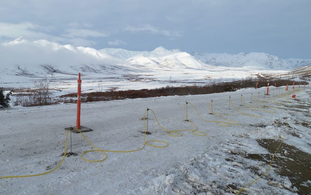
Our Direct Current Resistivity and Induced Polarization (IP) surveys provide high-resolution data to define geological units, fault structures, and mineralized zones with minimal environmental impact. These advanced surveys support accurate subsurface mapping for drill planning.
-
Detailed Subsurface Definition: DC RES-IP surveys map geological units and structures with high precision, useful for identifying faults and flat-lying ore bodies.
-
Flexible Configurations: Configurations can capture high-angled structures or flat-lying bedrock, maximizing data accuracy for diverse geological settings.
-
Eco-Friendly Approach: Using non-invasive geophysical technology to map subsurface structures efficiently minimizes surface impact.
Magnetometry (Powered by Overhead Intelligence)
Our magnetometry surveys use aerial and ground-based data to detect magnetic variations in the Earth’s crust, mapping subsurface mineralization patterns and geological structures. GroundTruth processes the data and services each project with expertise.
-
Mineral Exploration Mapping: High-resolution magnetometry identifies magnetic variations often linked to mineral-rich zones, providing essential data for mapping and target selection.
-
Broad Coverage: Aerial data collection offers extensive area coverage, which is ideal for remote and large exploration zones.
-
Powered by Overhead Intelligence: Data is collected by Overhead Intelligence, Inc. (OI) and serviced by GroundTruth’s experienced team.
Photogrammetry (Powered by Overhead Intelligence)
Photogrammetry captures high-resolution orthometric and multispectral maps, providing critical data for exploration planning and analysis. GroundTruth was an early adopter of drone technology for exploration, and in partnership with Overhead Intelligence, Inc. (OI), produces ultra-detailed images and digital elevation models (DEMs) to enhance project outcomes.
-
Orthometric and Multispectral Maps: High-resolution RGB and multispectral imagery support geological mapping and site analysis.
-
Ultra-High-Resolution Imagery: Provides unmatched detail, enriching data interpretation and presentation for efficient exploration.
-
Cost-Effective and Efficient: Drone-based surveys offer high-quality imagery at a fraction of traditional costs.
Geophysical Data Processing
Photogrammetry captures high-resolution orthometric and multispectral maps, providing critical data for exploration planning and analysis. GroundTruth was an early adopter of drone technology for exploration, and in partnership with Overhead Intelligence, Inc. (OI), produces ultra-detailed images and digital elevation models (DEMs) to enhance project outcomes.
-
Orthometric and Multispectral Maps: High-resolution RGB and multispectral imagery support geological mapping and site analysis.
-
Ultra-High-Resolution Imagery: Provides unmatched detail, enriching data interpretation and presentation for efficient exploration.
-
Cost-Effective and Efficient: Drone-based surveys offer high-quality imagery at a fraction of traditional costs.
Advanced Modelling
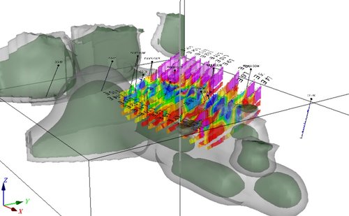
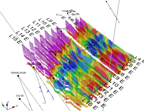
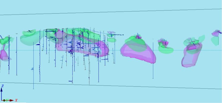
3D geophysical modeling transforms survey data into detailed subsurface visualizations, enhancing the ability to pinpoint drill targets and refine exploration plans.
-
3D Visualizations: Detailed subsurface models illustrate geological units, fault networks, and mineralized zones in three dimensions.
-
Target Optimization: Models refine exploration strategies, prioritizing high-potential zones for drilling.
-
Comprehensive Insights: Advanced modeling combines geophysical, geochemical, and geological data for a holistic understanding of subsurface features.

